By Rees Atkins Realty Group
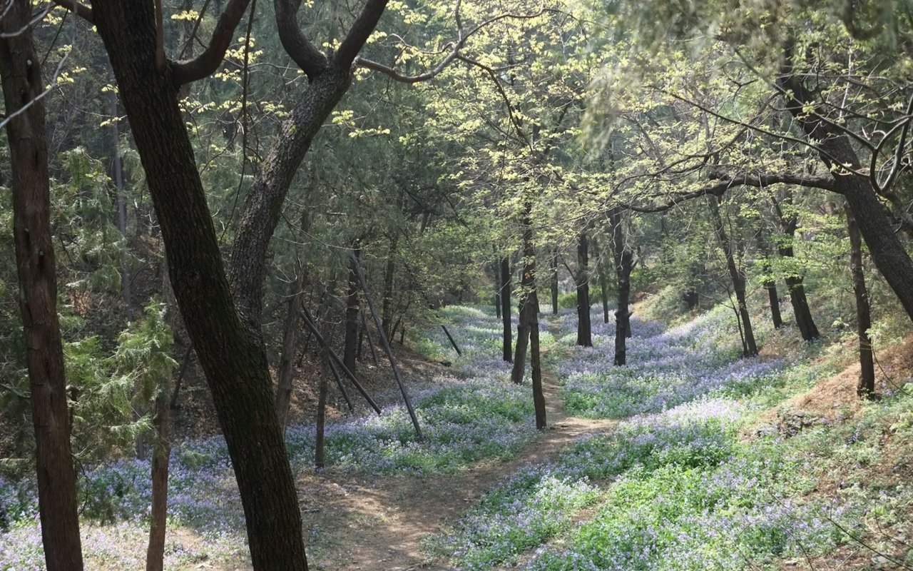
Aledo sits in Parker County just west of Fort Worth, and the rolling limestone hills, hardwood creek valleys, and native grass prairies are ideal for outdoor recreation. The Parks of Aledo trail system sits within the city itself, and Benbrook Lake, the Lake Mineral Wells State Trailway, and Rocky Creek Park are all within a short drive.
Here's how we recommend you spend summer mornings (before the Texas heat peaks) hiking or biking these trails.
Key Takeaways
- The Parks of Aledo trail system is the closest and most versatile trail network, with over 10 miles of singletrack open to the public at no charge
- Trails range from easy creek-side loops to technically challenging singletrack, covering multiple skill levels
- Benbrook Lake and the Lake Mineral Wells State Trailway offer additional options within 20 to 30 minutes of Aledo
- The trail network around Aledo is one of the lifestyle amenities that make Parker County an attractive place to own property
Parks of Aledo: The Local Trail Network
The Parks of Aledo trail system is the anchor of hiking in Aledo TX. Professionally designed and free to the public, these trails wind through 67 acres of green space in the Parks of Aledo development.
What the Parks of Aledo Trail System Includes
- POA Prairie Trails (Blue, Yellow, Green, Orange Loop): Six miles, 4.4 stars on AllTrails, with limestone formations, prairie sections, creek crossings, and a scenic overlook.
- POA Bluffs Trails (Red Trail): The more technical side of the system, with loose climbs, brief descents, and singletrack along a rocky bluff with 216 feet of elevation gain.
- POA Lakes Trail: A scenic loop combining lakeside terrain with rocky uplands, creek crossings, and wide views of the surrounding hills.
- The Pit Trails: A separate trail area open as of late 2025, adding terrain for mountain bikers at different skill levels.
You can access the primary trailhead at 1700 Jenkins Road via FM 1187 to Bailey Ranch Road, then right on Jenkins.
Benbrook Lake: Trails with Water Views
Benbrook Lake sits about 15 minutes east of Aledo, offering wooded terrain with lake views, rolling hills, and consistent wildlife sightings.
What Benbrook Lake Trail Offers
- Trail length and difficulty: A 6.1-mile out-and-back rated moderate, with 213 feet of elevation gain and a typical completion time of two to two and a half hours.
- Terrain: Wide and mostly flat with rolling wooded sections, the natural surface trail accommodates hikers and equestrians but can be muddy after rain.
- Rocky Creek Park access: On the east side of Benbrook Lake, Rocky Creek Park adds hiking trails, picnic areas, fishing, and a boat launch to the outing.
- Wildlife: Deer, herons, ducks, and multiple bird species are commonly spotted along lake-adjacent sections.
Early morning starts are essential because shade is limited on several sections and heat builds quickly.
Lake Mineral Wells State Trailway: The Distance Option
The Lake Mineral Wells State Trailway connects Weatherford to Mineral Wells along a historic railroad corridor, giving 20 miles of trails to hikers, cyclists, and equestrians.
What the Lake Mineral Wells State Trailway Offers
- Trail surface and length: Twenty miles total (paved for the first two, crushed limestone for the remaining 18), suitable for road bikes, mountain bikes, hikers, and horses.
- The 500-foot bridge: A Lone Star-adorned bridge crossing US Highway 180 is one of the trailway's signature features and worth the ride from Weatherford alone.
- Lake Mineral Wells State Park connection: The trailway connects to the state park, adding trails, a swimming lake, camping, and rock climbing for those who want a full day.
- Wildlife and scenery: White-tailed deer, turkey, fox squirrel, and rabbits are commonly seen as the route passes through rolling Cross Timbers country.
- Daily fee: A $7 per-person daily fee applies at trailhead pay stations. Annual passes for $70 cover all Texas state parks.
The Weatherford Trailhead off FM 920 is the most practical access point, about 30 minutes from Aledo.
FAQs
What time should I be on the trail during the summer?
Before 8 a.m. — ideally at or before sunrise. Temperatures by 10 a.m. make exposed limestone and prairie sections noticeably harder, and most experienced local trail users are already finished or finishing by the time the heat peaks.
How much water should I carry?
More than you probably think. Hydration sources are limited on all three trail systems. Fill up completely at the trailhead and carry enough for the full outing without relying on refills along the route.
How do I know if the Parks of Aledo trails are open?
The Parks of Aledo trails close during wet or muddy conditions to protect trail integrity. Current status is posted on Trailforks and the Weatherford Mountain Bike Club's social media before heading out.
Who else is using these trails, and how should I share them?
All three trail systems are multi-use, and mountain bikers, hikers, trail runners, and equestrians share the same routes. Communicate clearly, yield appropriately, and listen for other users around blind corners.
Contact Double B Ranch Estates Today
Hiking in Aledo TX is one of the details that makes daily life here different from the broader Fort Worth suburbs. The trail system requires no long commute or extensive weekend planning, just early morning singletrack through limestone hills before the day gets going.
Reach out to us at the Rees Atkins Realty Group for expert guidance and the best results from your real estate search in Aledo, Weatherford, Parker County, and more in Texas.
Reach out to us at the Rees Atkins Realty Group for expert guidance and the best results from your real estate search in Aledo, Weatherford, Parker County, and more in Texas.